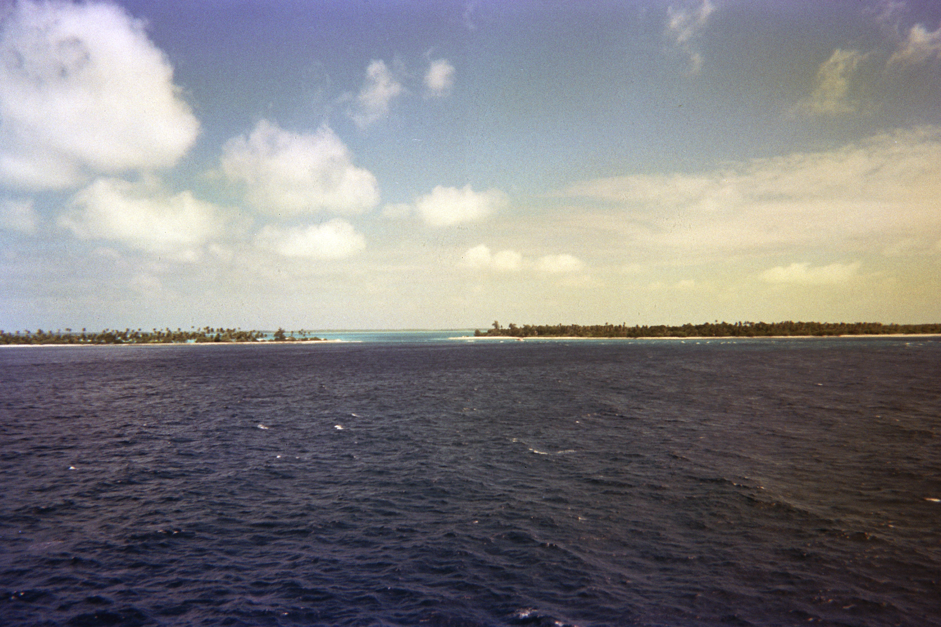
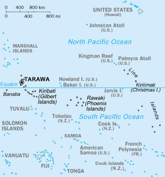
Tabuaeran, also known as Fanning Island, is an atoll that is part of the Line Islands of the central Pacific Ocean and part of the island nation of Kiribati. The land area is 33.73 square kilometres (13.02 square miles), and the population in 2015 was 2,315. The maximum elevation is about 3 m (10 ft) above high tide. The lagoon has an area of 110 square kilometres (42 square miles). The deepest water in the lagoon is about 15 metres (49 feet), but most of it is very shallow.
at the dock on Fanning Island
History
Tabuaeran was first inhabited by Polynesian people. Archaeological evidence points to a single large village being maintained for several hundred years on the west side of the atoll with other scattered production and agricultural sites across the atoll. Radiometric dates range from 1100 AD to 1425 AD (Cal. 810 ±50 BP and 620 ± 60 BP at 2 sigma). Continuous habitation is likely as stratigraphic cultural layers are uninterrupted and quite deep. Some archaeologists have argued that Tabuaeran and Kiritimati were one community living across a matched set of islands as despite their relative proximity, their climates and resources differ wildly covering what would otherwise be resource shortages. While this hypothesis is still being tested, the period of human habitation on these two islands does match up. Geochemical analysis of stone tools provides a clear window into trade networks that existed throughout Polynesia and in the case of Tabuaeran, a positive match was made with a quarry located in Eiao, Marquesas.
The first white man to sight Tabuaeran was American captain Edmund Fanning of the American ship Betsy on June 11, 1798; it was named for him. At the time, the atoll was uninhabited and, like all of the Line Islands, had no truly native population. After Fanning, it was visited by whalers of several nationalities. The whaler Harriet had wrecked there in late 1831 or early 1832.
By 1854, Captain Henry English and 150 labourers from Manihiki settled, and began producing coconut oil for export. He put the island under British protection when Captain W. H. Morshead arrived on HMS Dido on 16 October 1855.
In about 1857 a whaling ship put ashore William Greig who carried out planting of coconut trees to expand the production of copra, and who also began planting coconut trees on Washington Island. Eventually the sons of Greig owned the plantation with Father Emmanuel Rougier until he sold his interest to the Fanning Island Limited, and started a coconut plantation on Christmas Island. Captain William Wiseman of HMS Caroline formally annexed Fanning to Great Britain on 15 March 1888.
A deep opening, thereafter called the English Channel, was blasted on the west side of the atoll. Tabuaeran hosted a station on the Canada-to-Australia section of the All Red Line telegraph cable system, beginning in 1902. Fanning Island Post Office opened on 29 November 1902. During World War I, the cable station was visited in September 1914 by the Imperial German Navy light cruiser SMS Nürnberg and was severely damaged when a landing force went ashore to put the station out of action. In 1939 the atoll was incorporated into the British colony of the Gilbert and Ellice Islands. In 1979, it gained independence, becoming part of the Republic of Kiribati.
An airfield was constructed on Napari (Napali) islet when the University of Hawaii operated a tide monitoring station on the atoll. The station and the airfield closed in 1981. The airfield reopened in 2016, with regular domestic flights to Kiritimati.